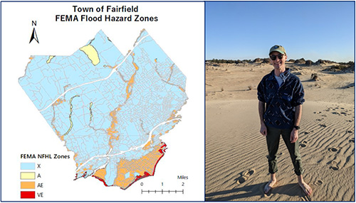
Fairfield GIS Mapping
This project produced updated Geospatial Information Systems (GIS) mapping to understand and identify the compliance of homes, businesses, and town infrastructure in various areas of Fairfield, CT that are the most susceptible to future flooding and coastal storm surges.
For Citation Purposes: Connecticut Sea Grant & University of Connecticut’s Center for Land Use Education and Research. (June 7, 2018). Town of Fairfield. https://climate.uconn.edu/climate-corps/projects/town-projects/fairfield